| Magnitude | 4.4 |
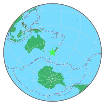
| Region | OFF W. COAST OF S. ISLAND, N.Z. |
| Date time | 2020-12-29 17:33:29.5 UTC |
| Location | -46.020 ; 166.860 |
| Depth | 86 km |
| Distance | 282 km WSW of Dunedin, New Zealand / pop: 114,000 / local time: 06:33:29.5 2020-12-30 94 km SW of Te Anau, New Zealand / pop: 2,900 / local time: 06:33:29.5 2020-12-30 |
All data providers for this event:
Geonet, GNS science -- Lower Hutt, New Zealand (GNS)National Earthquake Information Center, U.S. Geological Survey -- Golden, United States (NEIC)
Further information can be found at:
National Earthquake Information Center, U.S. Geological Survey -- Golden, United States (NEIC)Geonet, GNS science -- Lower Hutt, New Zealand (GNS)
GeoForschungsZentrum (GFZ) -- Potsdam, Germany (GFZ)